
Dry Creek Greenway East’s first phase is open; the rest remains a project in progress
The completed Darling Way-to-Rocky Ridge Drive section adds a paved route while the next phase remains in design.

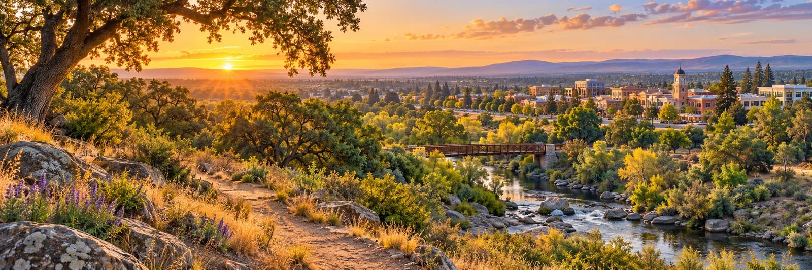
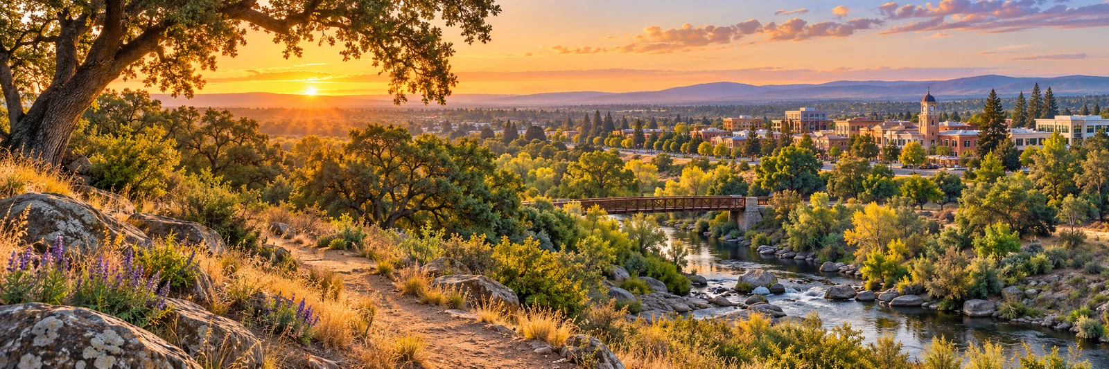
Image: AI-generated illustrative photograph of a generic Northern California creekside path; not Dry Creek Greenway East, its alignment or current conditions.
A trail project can be useful before its entire planned route is finished. Roseville says the first phase of Dry Creek Greenway East, between Darling Way and Rocky Ridge Drive, was completed in 2026 and is open. The second phase, continuing toward Old Auburn Road, is still in design.
The city describes the open section as nearly three miles, following Dry, Cirby and Linda creeks, with a Riverside Avenue trailhead offering parking, restrooms and exercise stations. Its longer project description covers an eventual route of about 4.25 miles; that planned distance should not be mistaken for the length already open.
Sponsored
Use the current trail overview map to choose an entrance and turnaround point. Check notices and signs for conditions or work affecting access, and leave enough time for the return. A paved, off-street route can serve walkers, runners and people cycling, which makes attention to other users part of the outing.
For a first visit, explore one section rather than treating the map as a challenge to finish. Notice how the route connects a neighborhood to the creek corridor and where it links with other paths. Future construction dates remain estimates; enjoy the completed section on its own terms while following city updates for what comes next.

Discuss this news
Your draft stays here while you sign in. Be respectful and keep it local.
No comments yet.